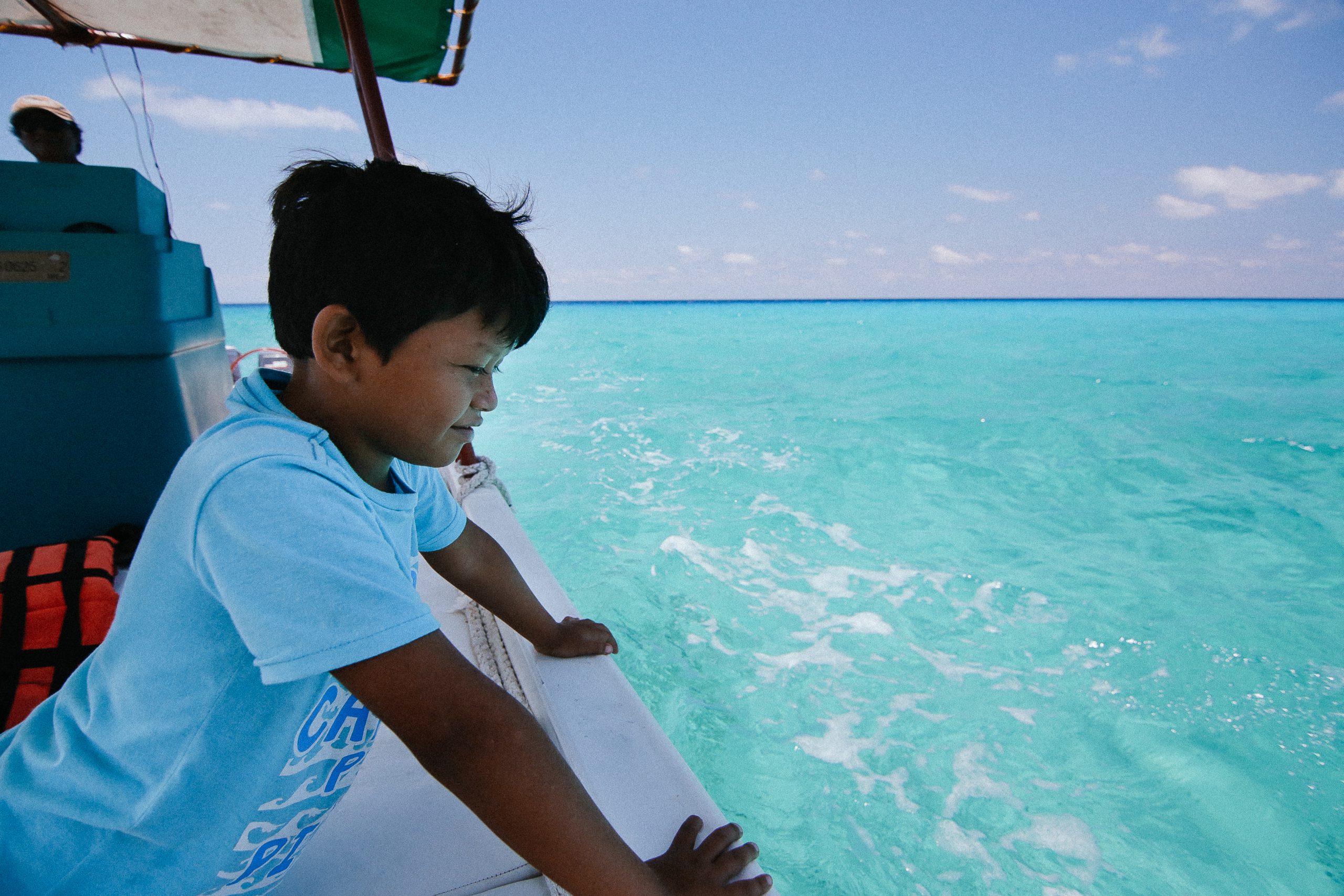
Mahahual
Our dive center is located in Mahahual, where the southern tip of the Mexican Caribbean lies an unscathed paradise for divers and anyone looking for adventure.
Mahahual, originally a small fishing village, has developed over the years to be an oasis for divers and travelers looking to relax and absorb the Caribbean vibes. Located just south of Playa De Carmen and Cancun, this white sandy getaway is just a stretch away from the hustle and bustle.
Part of the Mesoamerican barrier reef, Mahahual waters offer a multitude of underwater biodiversity and impressive reefs untouched by civilization for hundreds of kilometers. The reef consists of more than 300 types of coral, 350 types of mollusks and more than 500 types of fish, of which many are protected, including the world’s largest population of manatees. With unspoiled mangroves just a few meters from the beach, some hatcheries provide refuge for hundreds of species.
This kind of ecosystem not only helps and supports the life in the ocean but also attracts a lot of migratory bird species looking to feed and breed in the safety of the mangroves.
Fun Dives
Whether you have 1 day or 2 weeks to spend in Mahahual, our diving center takes you to the beautiful reef to explore the underwater world with our experienced staff and boat crew.
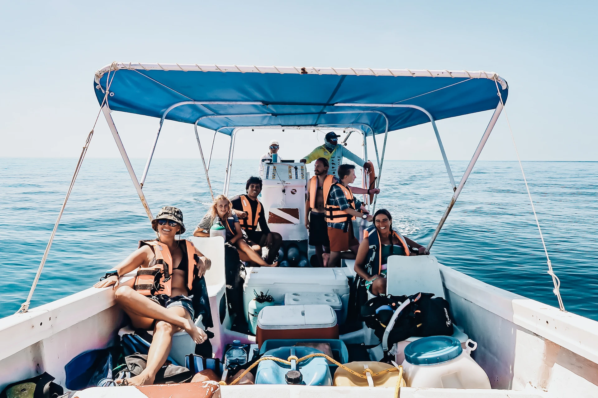 The following options are available for Fun Dives:
• 1 tank
• 2 tanks
• 6 tanks
• 10 tanks
When you choose to scuba dive with us, you choose to support our research and ecology initiatives. We schedule 2 dive trips each day, departing in the morning and the afternoon.
Rental Equipment
Dive equipment is available for rent.
Contact us for more information ⬇︎